NLJ Digital Gallery
View These and More on our NLJDigital Portal
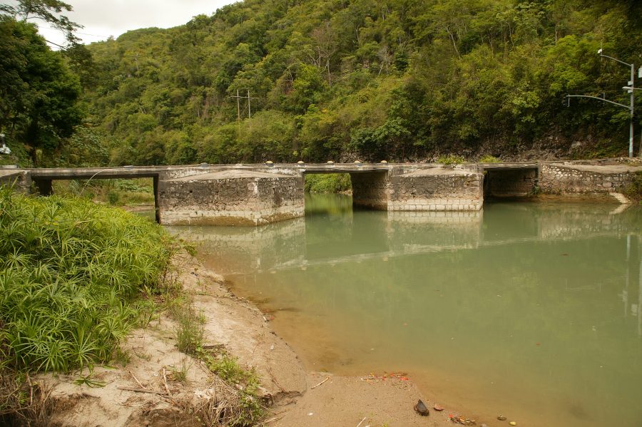
Flat Bridge, Rio Cobre River – Bog Walk
Flat Bridge, Rio Cobre River – Bog Walk
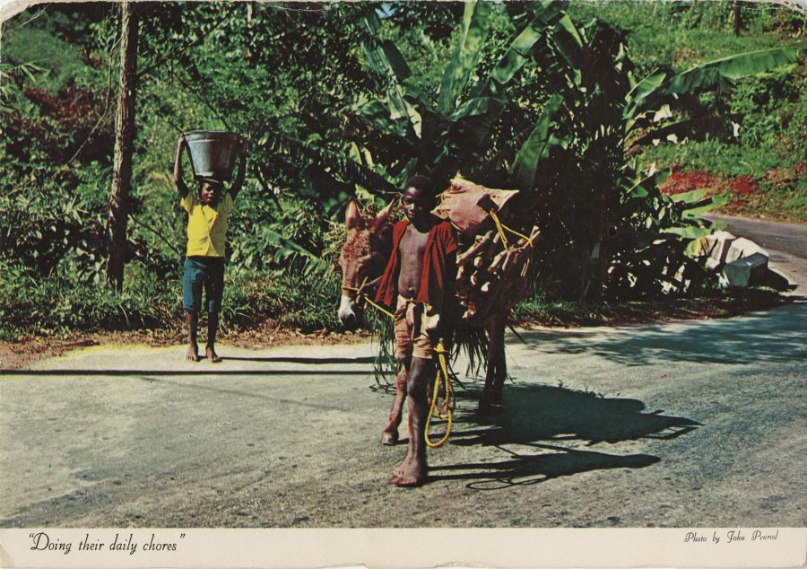
Boys in Hill Rural Jamaica
Up in the hill country in rural jamaica, one sees youngsters helping out, fetching water and firewood
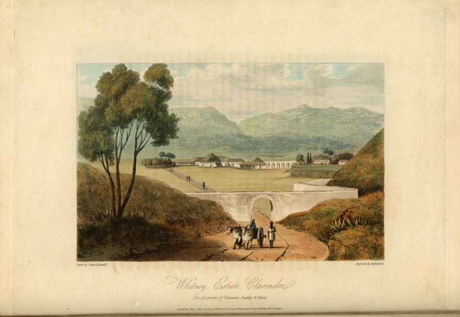
Whitney Estate, Clarendon
Whitney Estate Illustration

port maria st mary
Port Maria St. Mary PostCard Image
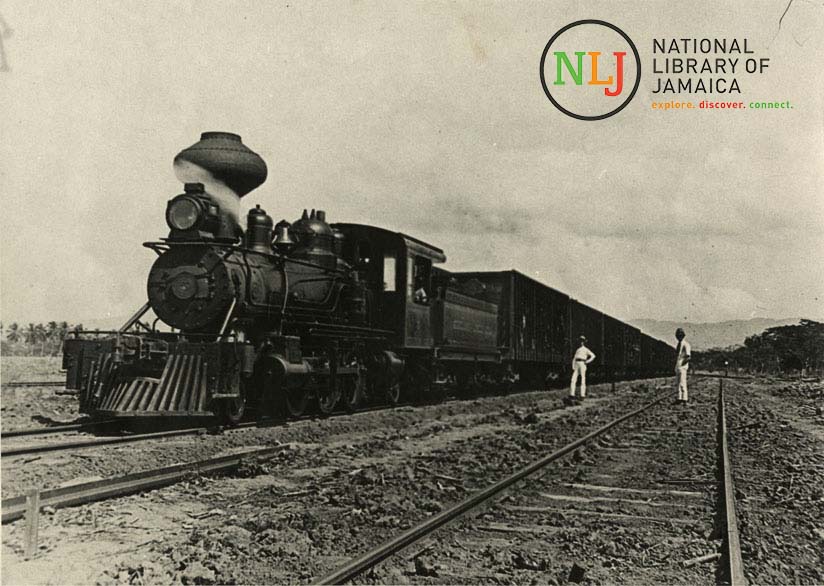
Train Through Bernard Lodge
A train passes through Bernard Lodge (from the NLJ collection)
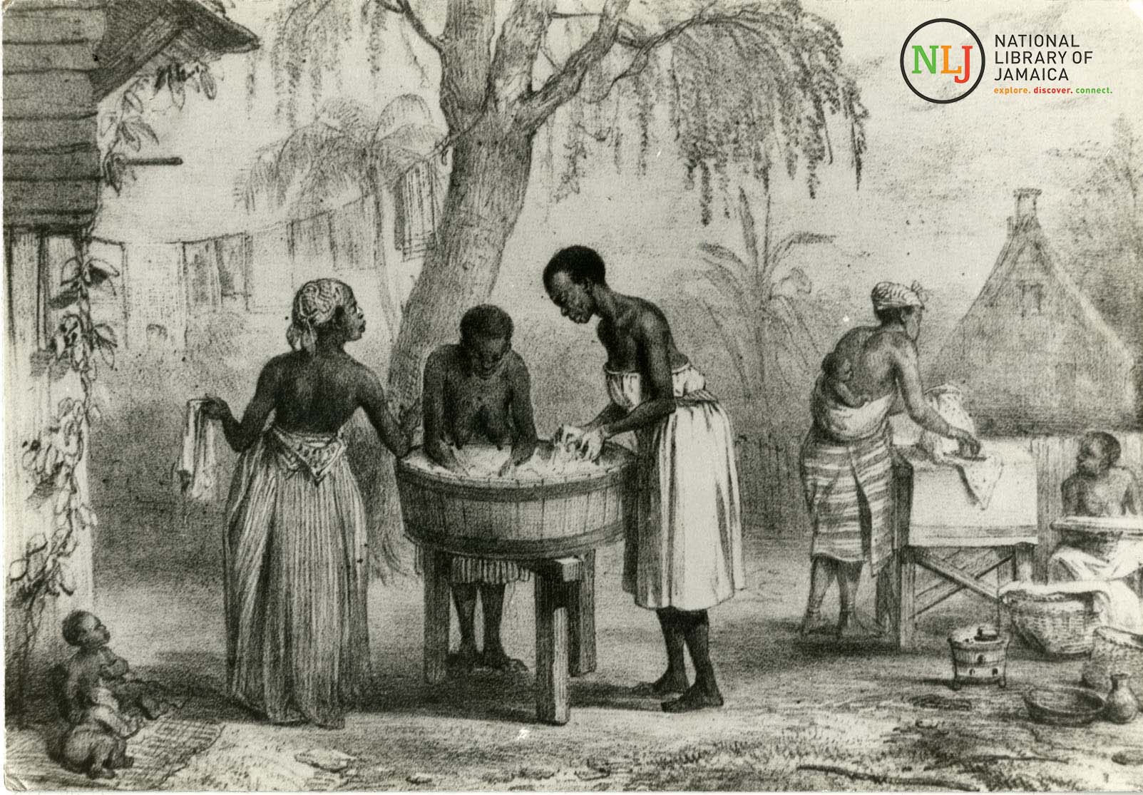
washerwomen at work
Washerwomen at work, Plate XVII from the Collection of the National Library of Jamaica
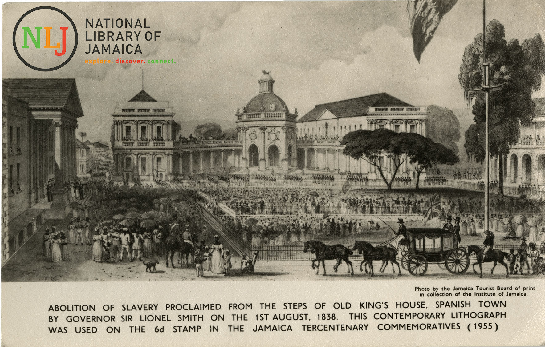
Proclamation of the Abolition of Slavery
Proclamation of the Abolition of Slavery across the British Empire (Spanish Town, Jamaica) 1838
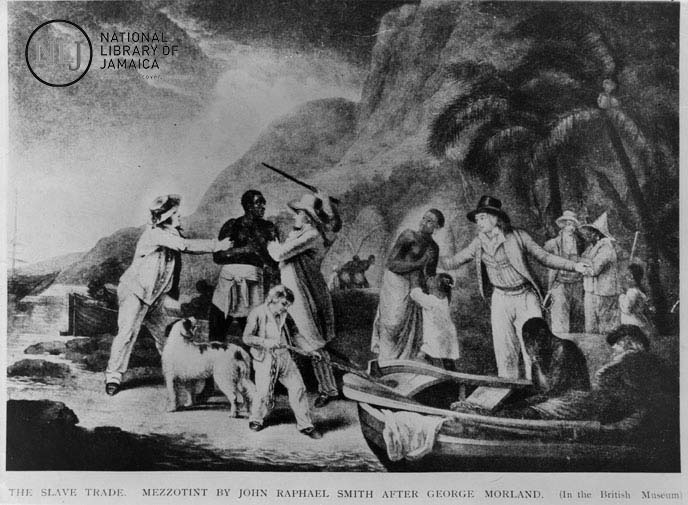
the slave trade
Showing a scene of slavery
About Us
The National Library of Jamaica was established in 1979 under the Institute of Jamaica Act of 1978. It originated from the collection of the West India Reference Library (WIRL) which was founded in 1894 as a section of the Public Library of the Institute of Jamaica. This public library was the first of its kind in Jamaica. It began operations in 1879 when the Institute of Jamaica was established for the encouragement of literature, science and art. The West India Reference Library began as a small collection of Jamaican and West Indian books, under the guidance of Frank Cundall, the Secretary/Librarian of the Institute from 1891 until his death in 1937. It developed into a comprehensive collection, rich in primary source materials covering all aspects of Caribbean life and society. WIRL formed the nucleus of the National Library.
LET'S HEAR FROM YOU
GET MORE INFO
Send us a message...
The National Library of Jamaica was established in 1979 under the Institute of Jamaica Act of 1978. It originated from ... read more